

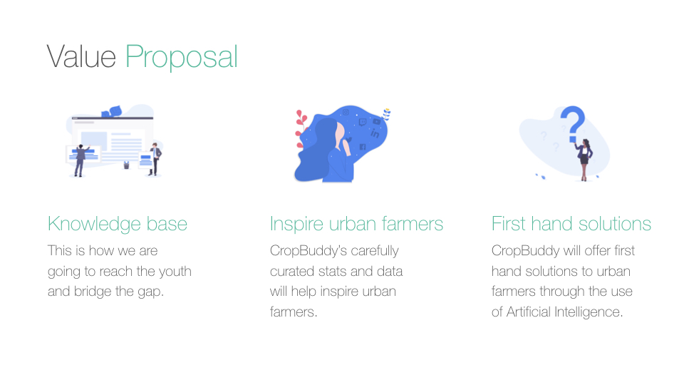
A cross platform application with crowd sourced data that uses Artificial Intelligence to provide first hand solutions to farmers.
Long description
Powered by the use of Google Satellite Maps, CropBuddy allows users to post alerts of any crop related disease occurring in a specific region using images and locations (longitude and latitude). CropBuddy displays the exact location and quadrant on a map where the disease has infected crops and is spreading, in addition to the details such as images, symptoms, or the specific dates a disease has occurred. The application will then immediately alert any registered farmer or user located in the same region via an SMS.
CropBuddy also provides useful insights such as weather predictions. This helps keep the community informed while also educating users on how to stop a disease from spreading.
CropBuddy also allows users to post questions and receive replies from others who have experienced similar issues and view well-researched articles posted by other users on the platform enabling them to gather more knowledge about specific crop pest and disease. CropBuddy users can also rate, comment or even request to edit any information posted on the application.
Our project aims to gather crowdsourced data from articles posted on CropBuddy by researchers, farmers, or students and empower others to acquire the same knowledge.
Additional Images


Please login or create a profile to view comments